Beyond the Canopy
Beyond the canopy за пределами верхушек деревьев, Блог компании rTek – Инсайты по решениям в отрасли, которые могут использовать компании – с акцентом на технологии, способствующие продвижению устойчивого развития
Beyond the Canopy, a blog by rTek – Insights into industry solutions that businesses can use- with a focus on technologies that empower progress toward sustainability.
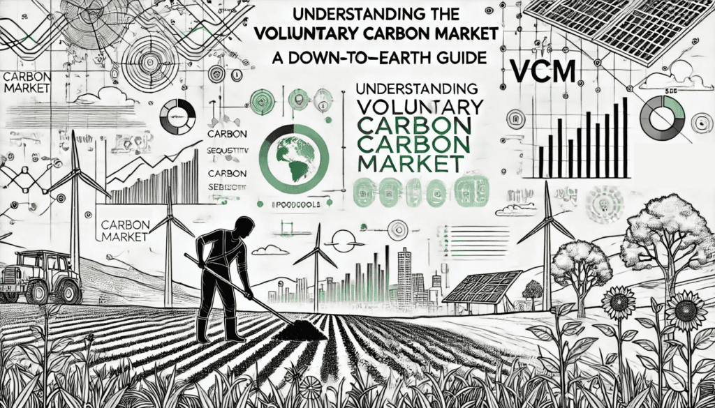
Understanding the Voluntary Carbon Market: A Down-to-Earth Guide for New Customers
Navigating the Voluntary Carbon Market is like stepping into a labyrinth of jargon and protocols. Fear not! We've got you covered with this guide.
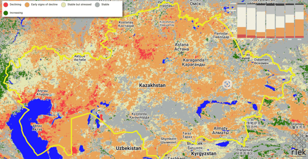
The State of Soil Carbon Sequestration in Kazakhstan
Carbon Sequestration has immense potential in Kazakstan, but more research is needed to reduce risk for project developers.
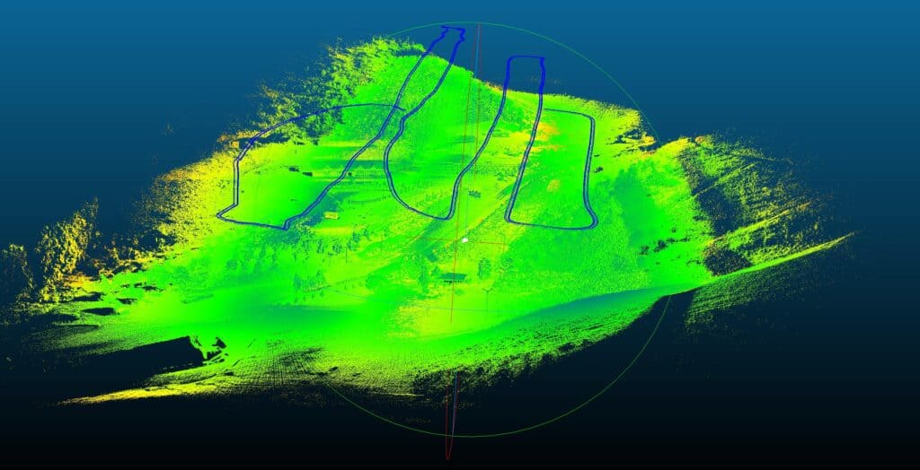
Case Study: LiDAR Forest Inventory, Almaty
LiDAR: One instrument to rule them all, or still a work in progress?
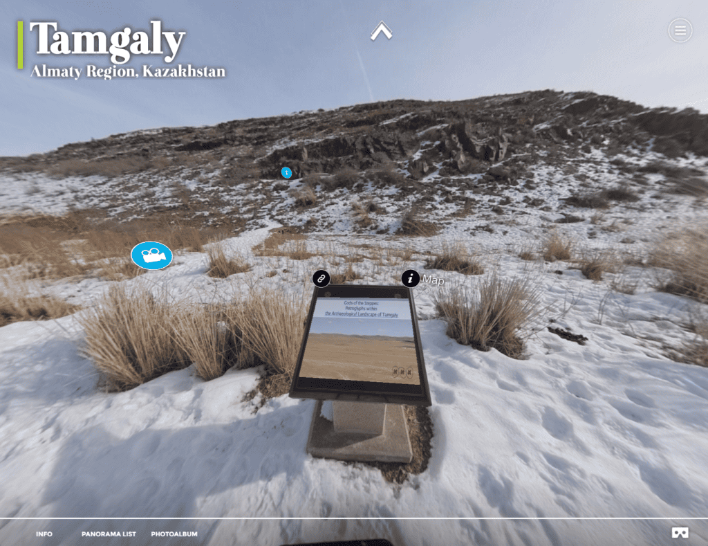
Case Study: Reality Capture VR Tour of Tamgaly UNESCO Heritage Site
Explore the Tamgaly UNESCO World Heritage Site in Kazakhstan and see how rTek makes Reality Capture Interactive Virtual Tours.
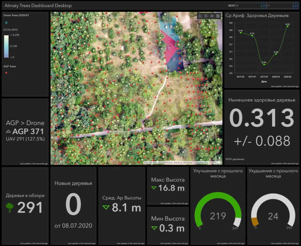
Case Study: Almaty Tree Digital Twins
We set out with consumer UAV equipment to count a grove of 10,000 trees, model their height and health. In this case study, we explore the limits of UAV image-based digital twins in afforestation and reforestation applications.

